
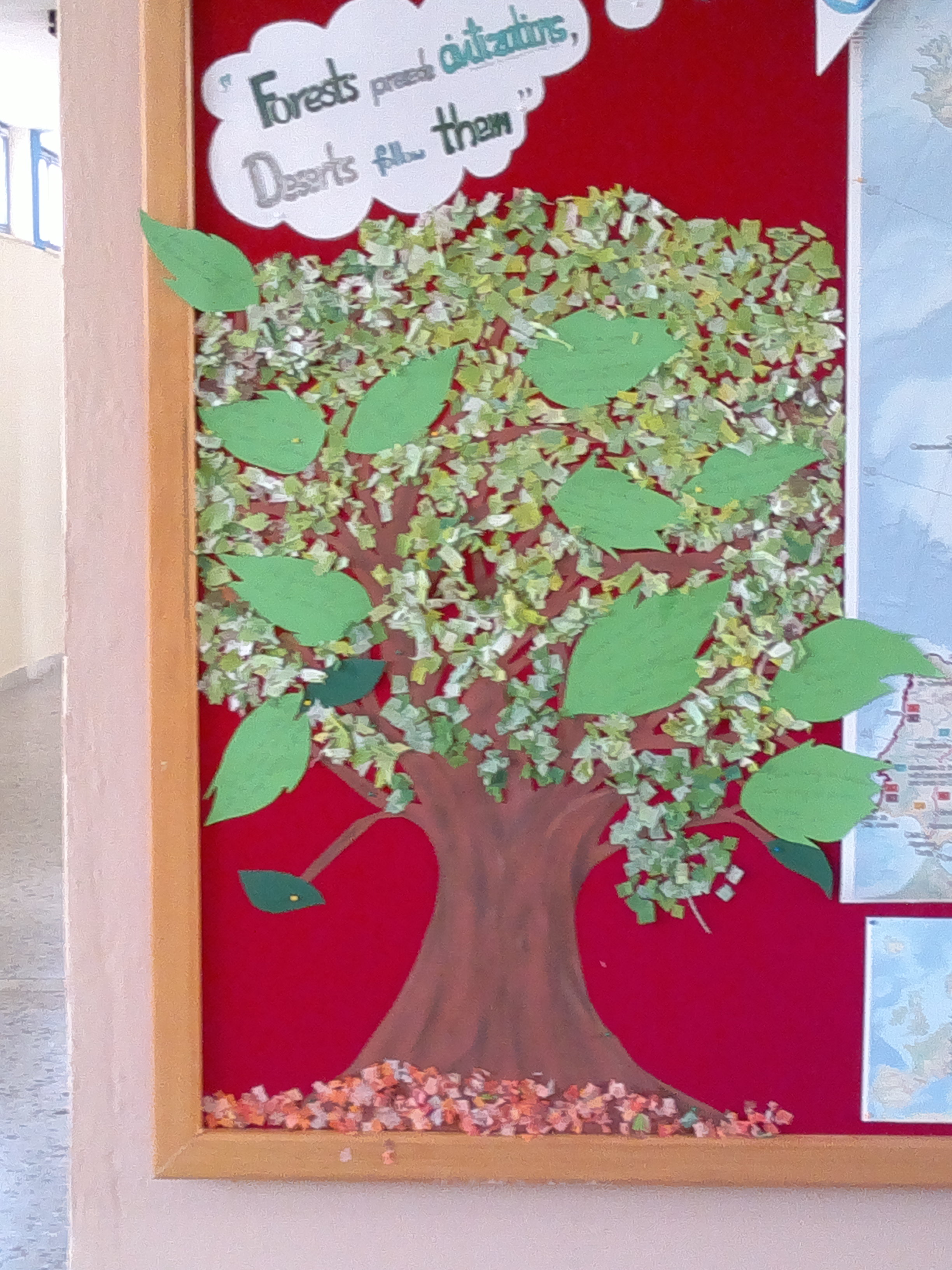
 Erasmus+ Corner
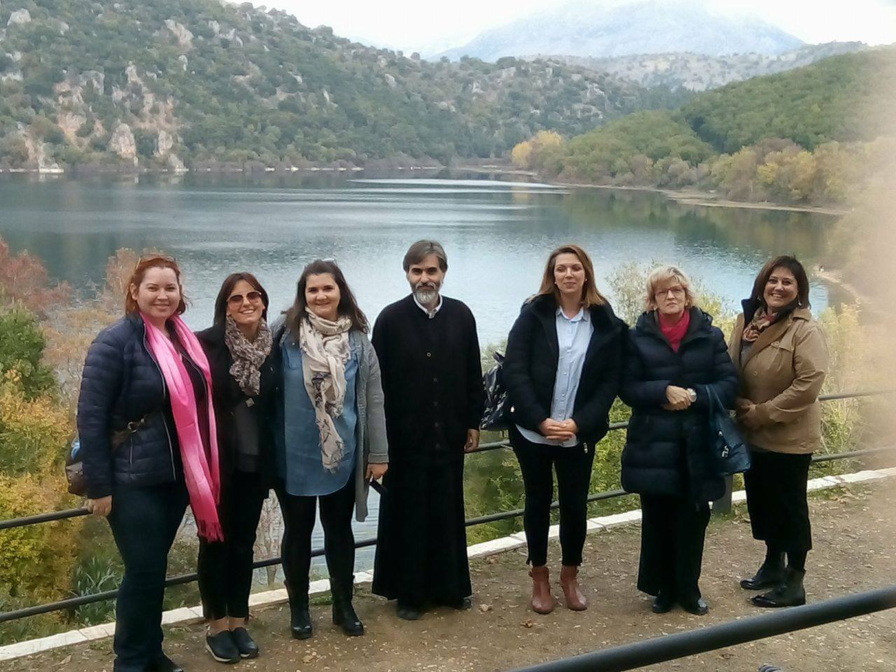 Transnational Meeting
 Library
 High School of Thesprotiko
 Caminiti Trimarchi
 Liceum Teoretic Aurel Lazar
  Thesprotiko
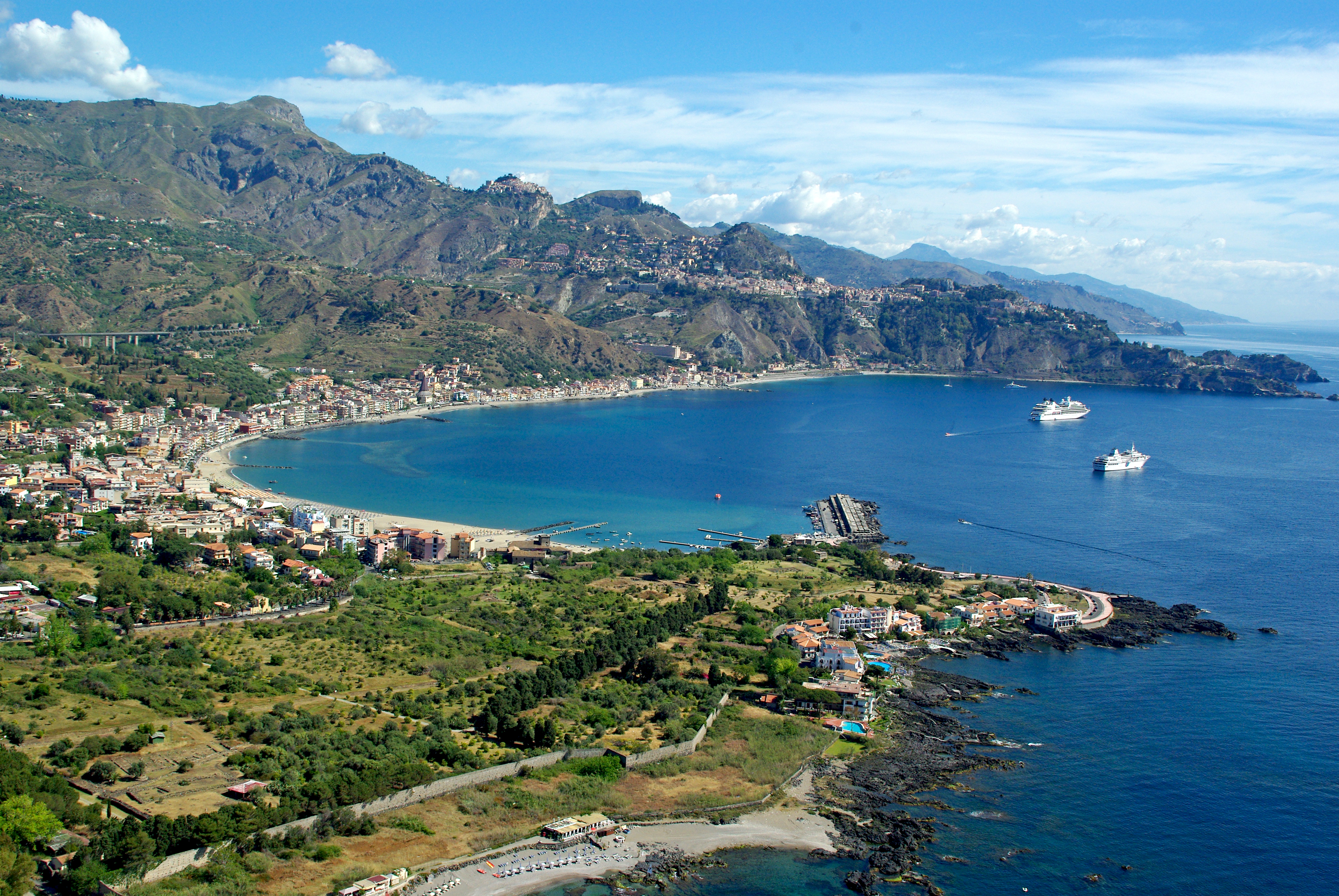 Giardini Naxos
 Oradea
 Kokkinopilos
European long-distance paths
European paths are a network of long-distance trails that cross Europe. These European pathways pass by many European countries, crossing different ecosystems and areas with a different story. In general, these routes make use of national and international routes local paths that already exist in the countries. The 60s was the period of liberty, vitality, creativity and young people. Climbers are influenced by the spirit of the time they also decide to create. Somewhere there starts and the history of the trails. They decide to build an international network of paths. This effort resulted in the creation of a total of 11 European paths of a total length of 50,000 km. Official recordings of the routes were made by the European Hiking Association. These trails cross the Old Continent at every end.
List of the 12 European long-distance paths so far defined
|
Paths |
Map |
Route |
Distance (km)
|
|
E1 |
 |
Norway • Sweden • Denmark • Germany • Switzerland • Italy
|
7,000
|
|
E2 |
 |
Ireland • United Kingdom • Netherlands • Belgium • Luxembourg • France
|
4,850
|
|
E3 |
 |
Portugal • Spain • France • Belgium • Luxembourg • Germany • Czech Republic • Poland • Slovakia • Hungary • Romania • Bulgaria • Turkey
|
6,950
|
|
E4 |
 |
Portugal • Spain • France • Switzerland • Germany • Austria • Hungary • Romania • Bulgaria • Greece • Cyprus
|
12,000
|
|
E5 |
 |
France • Switzerland • Germany • Austria • Italy
|
2,900
|
|
E6 |
 |
Finland • Sweden • Denmark • Germany • Austria • Slovenia • Greece • Turkey
|
6,300
|
|
E7 |
 |
Portugal • Spain • Andorra • France • Italy • Slovenia • Hungary
|
6,000
|
|
E8 |
 |
Ireland • United Kingdom • Netherlands • Germany • Austria • Slovakia • Poland • Ukraine •Romania • Bulgaria • Turkey
|
4,500
|
|
E9 |
 |
Portugal • Spain • France • United Kingdom •
Belgium • Netherlands • Germany • Poland • Kaliningrad Oblast •
Lithuania • Latvia • Estonia
|
5,500
|
|
E10 |
 |
Finland • Germany • Czech Republic • Austria • Italy • France • Spain
|
2,880
|
|
E11 |
 |
Netherlands • Germany • Poland
|
2,070
|
|
E12 |
 |
Spain • France • Italy
|
1,800
|
The categories of paths
The paths are not all the same. They present diversity which they
classifies the following groups:
(a) Local
(b) National,
(c) European, global paths as well as different groups
concerning the activities carried out there:
1) hiking, to which the activities can be done
hiking, climbing up to 300 m, mountain hiking, 300-600 m,
mountaineering (climbing), 600 m and above,
2) mapped and uncharted,
3) urban,
4) suburban,
5) countryside.
Paths in ancient times
These paths have been used since ancient times for various reasons, which are changing according to human needs. People have always needed to find or create ways to facilitate communication, and later trade; that’s why they created paths and, then, roads so as to reduce distances. Paths are generally the ‘forefather’ of all the roads, not only of ancient ones but also of today’s roads, from the shortest to the longest and most complicated ones. Were they only used for communication and trade? Certainly not. The paths are used for relaxation and preservation of the human spiritual welfare, for internal health because the tranquility of the natural environment ‘tames’ the man once more and, for the physical health as sports and personal training take place there.
Marking and the ‘rules’ of the paths
The paths of each mountain, except for those long routes, are described according to their importance (main or not) with a color or geometric shape, those of main importance with a square and those of secondary importance with a triangle; if those of secondary importance are quite a lot, the circle and the rectangle are also used. The main color is red and, then, yellow, while green, blue, orange and purple follow according to the importance and number of the paths.
The paths labeled as long route ones (national paths) or those labeled as long distance ones (European paths) use the rhombus shape and the dark red color in a white square base. The number of the path is written in the rhombus. The numbering of the National paths is with numbers( for example 01 to 10) and the European paths with an E and the number ( for example the E4 and E6 which are located in Greece)
All the signs which are used for marking the paths are dyed in dark reflecting colors. The letters and the different symbols in the signs (stations, resorts, hostels, shops, country chapels, sights etc.) are written in dark color or dark oil-green color. An exception is made for the signs whose labeled path is yellow. Then a white stripe will be put round the symbol in the sign.
The marking of the paths in their color takes place on tree trunks or rocks, if there are not any trees. The marks-signs are very conspicuous if marked on a white background (square shape (15x15cm). This is especially vital when the distinctive color of the path is yellow. For this reason, all the places where the marks-signs will be put, tree trunks or rocks, must be painted when they are dry in white fast color and in a bigger dimension than the mark-sign a week earlier, or when the first layer of color has dried.
The colors we use for marking the paths must resist hard mountain weather conditions. So far the colors used for dying cars have proved the most suitable. If reflecting colors are used, because rain is gradually fading them, a layer of diaphanous acrylic color must be painted over it, when the color is completely dry.
Metal signs of one facet are fastened on trees which are next to the path, forestall or path for mules, and vertically to the axis of the route so that they are visible from far away. If it is not possible to put signs on trees, then we put low posts 1 or 1.20m tall in cement bases with double-facet signs. The distance of these signs can be to 250-300m considering current conditions. Pedestrians must be sure that they walk along the right path, even if they do not run the risk of being lost.
We make sure that the signs are put correctly especially at crossings and forks so that pedestrians follow the right path. In places where the path is hard to discern, signaling must be dense, even at every 3 or 5 meters. We always insert color signs in the metal signs in the trees. After a few metal signs a color sign follows. The signs which are spoilt by hunters or woodcutters, or due to the tree growing, or another cause, are replaced with color signs.
To mark the paths, an application should be made to the Forest Inspection along with a map drawn to scale of 1:50,000, where the paths under the process of signaling will have been marked. Moreover, there should be a sketch-map without hypsometrical curves, where the paths will be imprinted with their distinctive color. The application will be accompanied by a description of the route with all the necessary elements that will facilitate the people who want to hike along the path. E.O.O.S.A. is notified of the complete application.


No comments:
Post a Comment