
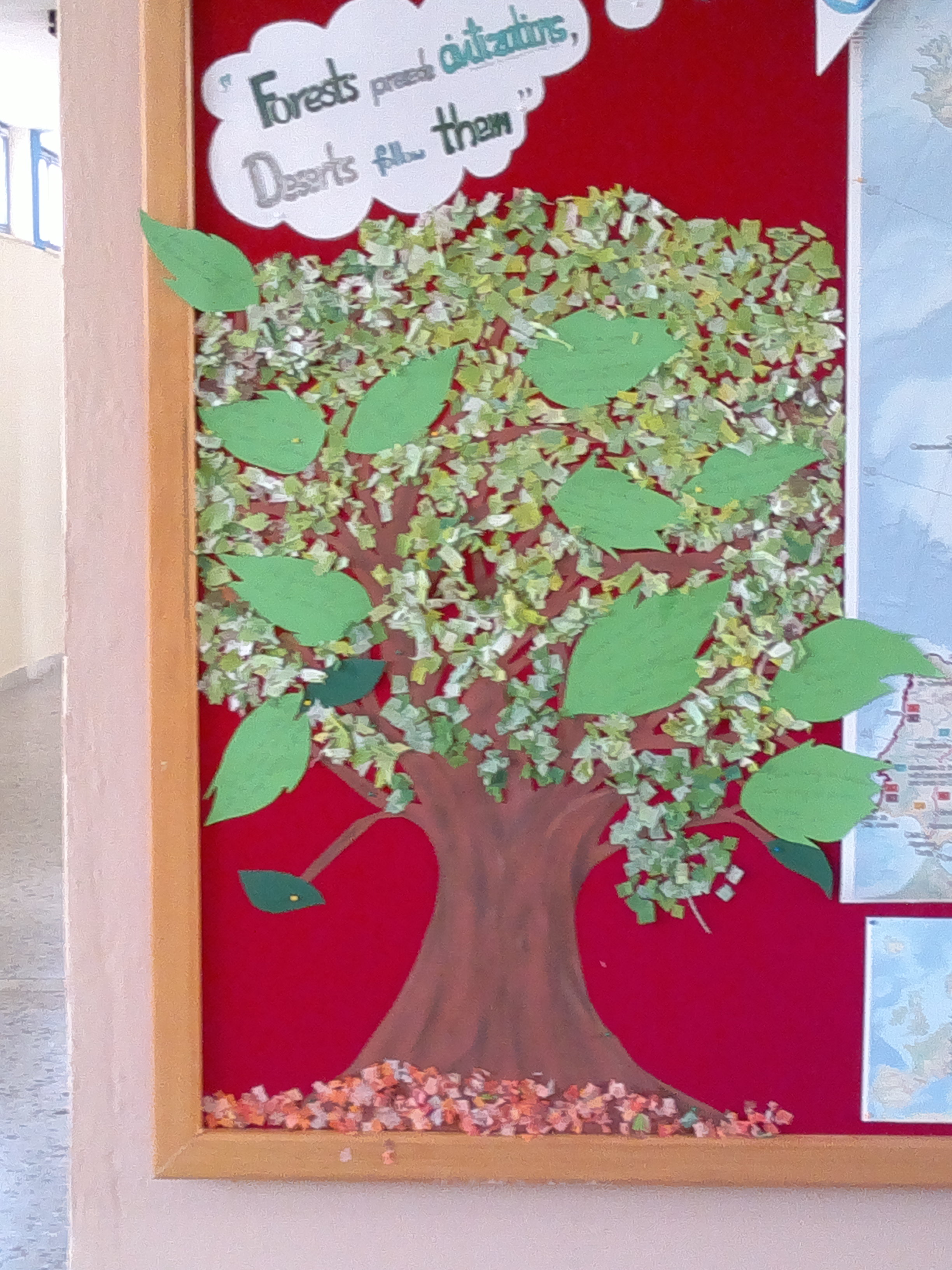
 Erasmus+ Corner
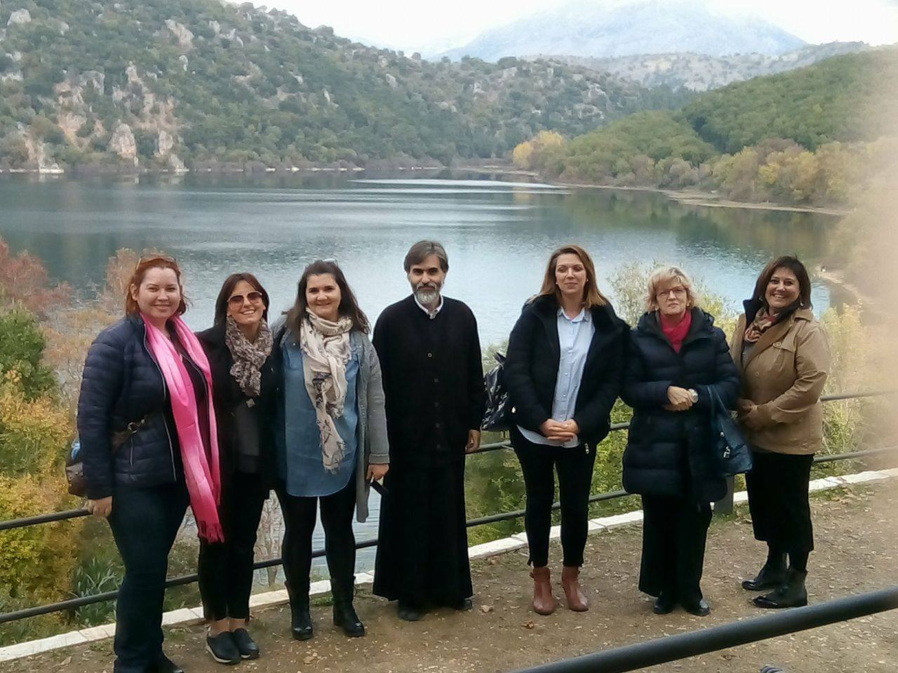 Transnational Meeting
 Library
 High School of Thesprotiko
 Caminiti Trimarchi
 Liceum Teoretic Aurel Lazar
  Thesprotiko
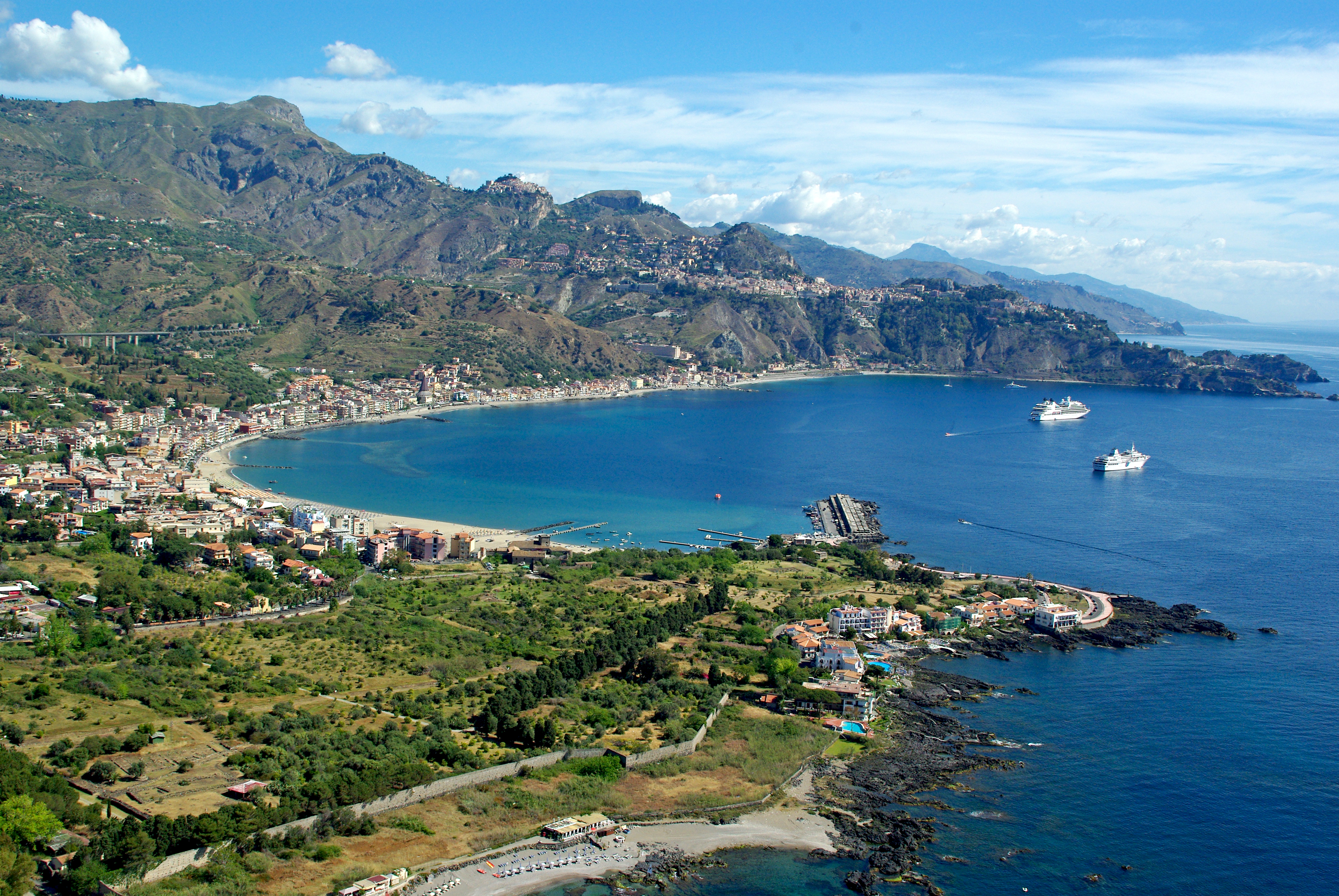 Giardini Naxos
 Oradea
 Kokkinopilos
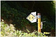
E4 long distance European path
The E4 European long distance path or E4
path is one of the European long-distance European paths. Starting at
its westernmost point in Portugal it continues through Spain, France,
Switzerland, Germany, Austria, Hungary, Romania, Bulgaria and Greece to
end in Cyprus. It also visits the Greek island of Crete.

Spain
From: Tarifa, southernmost point of mainland Spain
through mountains of Andalucia, Murcia and Valencia via Ronda, Alhama de Granada, Moratalla, Alcoi, Requena, Morella (GR7)
2300 km
Puigcerda in Pyrenees E of Andorra
Catalan coast at Ulldecona (GR8), Tarragona via Catalan coast path (GR92), Montserrat (GR172), then GR4 into Pyrenees
450 km
France
Montagne Noire Via Mont Canigou and Carcassonne (GR 36),
Villefort through Haut Languedoc and Cévennes (GR 71, GR 7, GR 72),
Ardèche and Rhône valleys east via GR 44, GR 4, GR 42, 429, Swiss border near Geneva
N through Vercors, Grenoble, Chartreuse and Culoz (GR 9)
1100 km
Bulgaria
E4 route marker Bulgaria.
Pirin - sign to Vihren
In Bulgaria, the marked trail begins on the village square of the Sofia suburb of Dragalevtsi. It passes the terminals of the Dragalevtsi chairlift, the ski resort Aleko and the highest peak of the Vitosha mountains, Cherni Vrah, and then leads down the other side of Vitosha, through the Verila hills to Rila.
In the Rila and Pirin Mountains, it is not marked as such, but the main trail leading through those mountains, marked in red, should be followed. Coming from Verila, the trail enters Rila following the Saparevska Vada irrigation ditch. It passes through the Seven Rila Lakes area and then climbs onto the ridge passing Malyovitsa peak. It continues via the shelter Kobilino Branishte, the hut at Ribni Ezera and the hut Macedonia towards the Predel saddle which separates Rila from Pirin.
Greece
There is little up-to-date information available on E4 through Greece, and while a route exists from the Bulgarian border to the foot of the Peloponnese peninsula, it may inadequately way marked. E4 continues, via ferry from Yithio (Gythio), through Crete. E4 had originally been planned to start out from the Republic of Macedonia rather than Bulgaria.
A walk can take longer than anticipated because of poor way marking, or because paths are blocked, or dangerously eroded, and streams and rivers may be impassable. Walkers should therefore be prepared for long diversions, and never presume that you will reach the intended destination, including the final one, on time, or on a specific day. Flexible planning is advisable. Some sections follow paved roads, but there should be little traffic, in the spring and autumn.


No comments:
Post a Comment